Preparing for outdoor activities goes far beyond packing your backpack: it involves making conscious decisions that ensure safety, autonomy, and minimal environmental impact. In the post “The 10 Essentials (and the 11th) for Safe Outdoor Activities“, we introduced the concept of the 10 Essentials, developed by The Mountaineers, a traditional North American mountaineering and outdoor education organization with great influence on the development of best practices in natural environments.
Now, Gear Tips takes it a step further: we will publish a series of articles explaining, in detail, each essential item, so you are always well informed and prepared to have safer experiences in nature. These items are the foundation of a system that supports the pillars of safety: knowledge, technical skill, adequate equipment, and decision-making.
Let’s explore each one of them, starting with the first: Navigation.
Every adventure begins with a goal to be achieved. In a trekking activity, for example, the objective is to reach the summit. But to get there, you need to know the way. In addition to knowing where the trail starts and how long it typically takes, having basic geolocation knowledge is essential to ensure a enjoyable activity doesn’t turn into an ordeal.
Navigation, within the 10 Essentials, involves the ability to orient yourself in the terrain, understand your position, plan and follow a route safely, correcting deviations autonomously even without cell service or internet connection.
Why is navigation essential?
Navigation is not just about finding the right path — it’s about avoiding the wrong one. Or choosing the best path when there is no defined trail.
Taking a wrong turn can mean additional hours of hiking, excessive energy expenditure, water scarcity, a delayed return and, in some cases, getting lost in isolated areas, entering technical terrain unprepared, or failing to get back before nightfall.
Navigation is especially important on poorly marked trails, in regions with fog, dense vegetation, river crossings, or deserts — among other situations where terrain references or visibility are lacking. In any of these scenarios, confidence in your own position and in the route ahead makes all the difference when it comes to safety.
The use of technology (apps and GPS) has revolutionized navigation, but does not replace knowledge of analog resources, such as map and compass. In emergencies, these are the only reliable tools — they don’t need batteries, they don’t freeze up, and they work even when wet, if properly protected.
What to consider when choosing navigation resources
1. Essential navigation tools
According to The Mountaineers, modern navigation should include at least five elements:
- Topographic map (printed and well protected);
- Baseplate compass;
- Altimeter (watch or reliable app);
- GPS-enabled device (dedicated GPS unit or smartphone with offline app);
- Satellite communicator, when possible.
2. Apps and digital devices
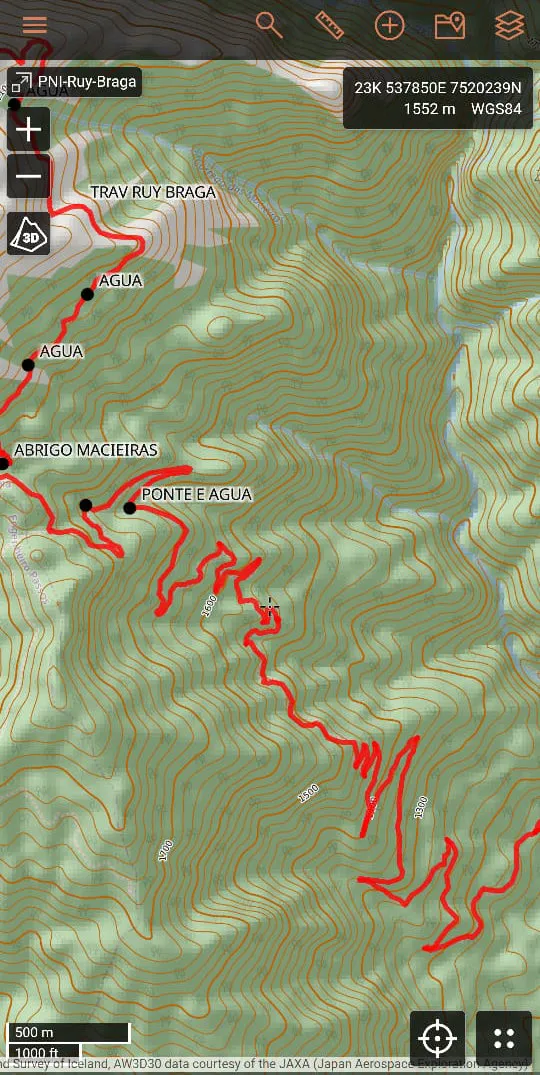
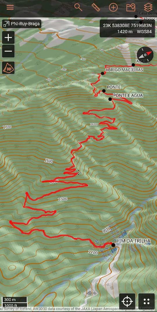
For digital navigation, the ideal is a reliable app with offline maps and features such as:
- Topographic view;
- Coordinate reading;
- Waypoint marking;
- Trail/tracklog reading.
3. Always have backups!
Electronic equipment can fail. So, even if your favorite app or dedicated GPS works well, always carry a printed topographic map and compass as a backup. Protect the map with a ziplock bag or waterproof case.
Having other electronic devices as backup is also a valid solution, especially when we are in a group. Recommend that your friends install an offline navigation app on their phones and share a copy of the trail’s tracklog file with each of them. That way, if your phone or app has any issues, other people in the group will be able to navigate from their own devices.
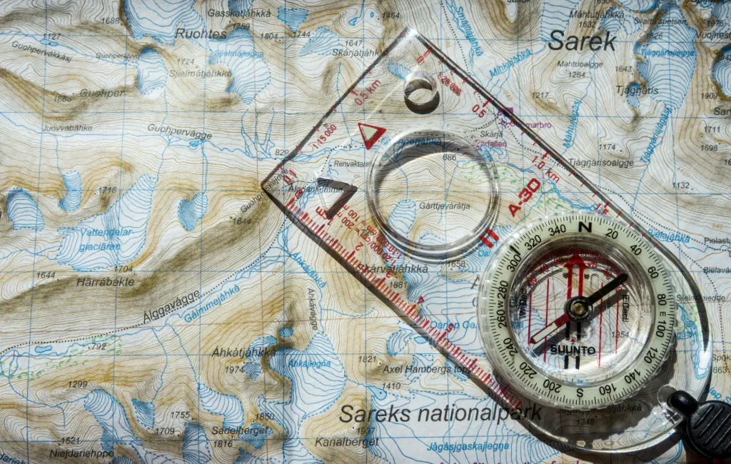
Photo: Hendrik Morkel / Unsplash
4. Training is the most important thing
Having the tools doesn’t mean knowing how to use them. Learning to interpret contour lines, align a map with a compass, use natural references, and understand altimetry and magnetic declination are skills developed through training, practice, and proper instruction.
At Gear Tips, you can learn the basic skills in the Mountain Environment Orientation and Navigation Course (CONAM), developed based on the guidelines of the CBME (Confederação Brasileira de Montanhismo e Escalada) and in accordance with ABNT technical standards for adventure activities. The course is aimed at both practitioners and professionals who want to raise their level of autonomy and safety in natural environments.
Practical usage tips
Beyond having the right apps and/or a printed map, you need to study, research the route, and create strategies for possible contingencies. Preparing for a trail also means organizing the different navigation formats you will use. So, before hitting the road:
- Download offline maps in advance and test the app before the activity;
- Create and study the route before you leave — this reduces anxiety and improves decision-making in the field;
- Mark strategic waypoints (identification points along the way): water sources, trail junctions, camping areas, trailheads.
- Identify the challenges of the route and prepare accordingly.
- Use airplane mode on your phone to save battery — but keep a close eye on the charge level. Bring a powerbank with good capacity to recharge your phone.
- Practice reading contour lines with a printed topographic map — knowing where you are requires more than just staring at a screen.
What do I use for navigation?
I use Caltopo as my main navigation app on my phone. It offers detailed topographic maps, layers, reference trails, and offline mode — ideal for areas without signal. Before heading out, I download the trail’s tracklog, usually from Wikiloc, and import it into both the app and my GPS watch.
I also use a Garmin Fēnix 7, where I upload the tracklog of the route I plan to follow. This way, I can track the route directly from my wrist, without relying on my phone all the time — which optimizes navigation and conserves battery life. This has proven especially useful on more technical sections or in unstable weather, where frequently pulling out your phone can be a real problem.
In addition, I keep my phone in airplane mode during the hike and always carry a powerbank as an energy backup, ensuring autonomy for emergencies or situations requiring extended navigation.
So, never skip studying the route in advance and always carry a backup map with you. Preparation is the key to reducing risks and ensuring greater safety on any adventure.
Coming soon, we’ll publish the 2nd essential item: lighting. Follow the upcoming content on the 10 essential items to enjoy nature safely and consciously.
This post is also available in: Português (Portuguese (Brazil)) Español (Spanish)